Sunday, January 9, 2011

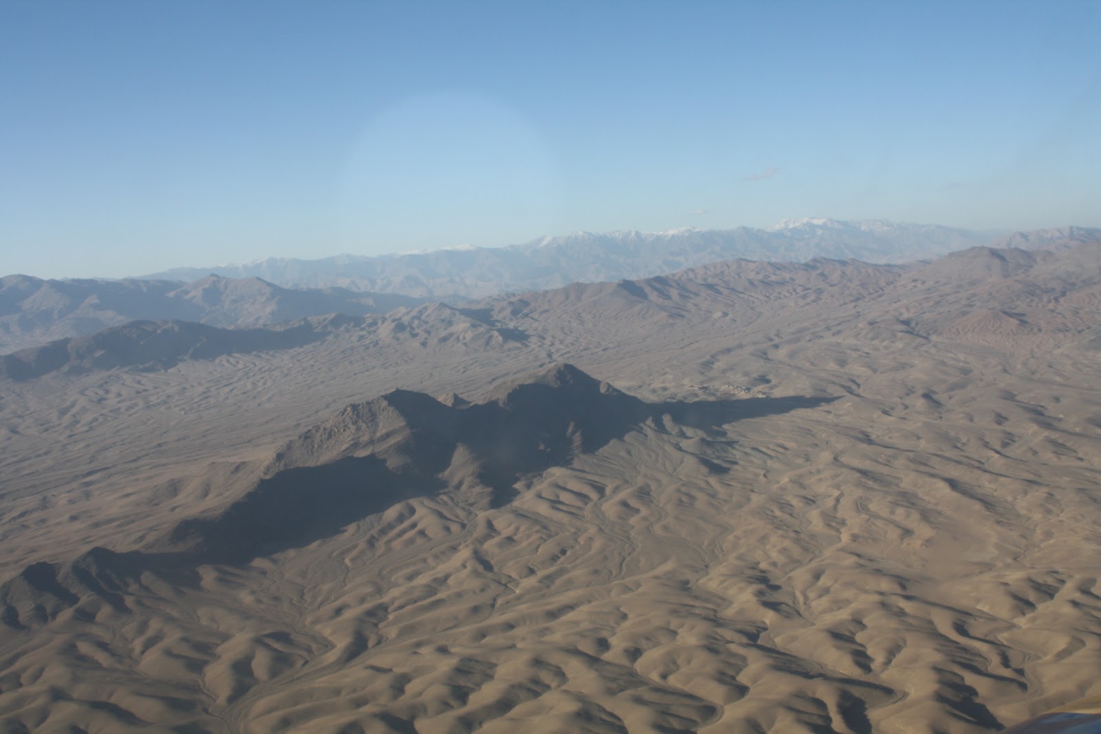
Weird Landscape

 I think the way the land ripples here as far as you can see was weird.  As usual, no vegetation at all, though note the little clump of houses in the second picture. 

A Village from the Air

 This is probably Logar instead of Ghazni, based on the flight time to Kabul.  Anyway, it's a village much larger than the usual one, in a place where the valley spreads out and the river runs.  You can see that they have a lot of orchards, probably apple, and they have a lot more arable space than the usual settlement seems to have.


More on the Highway

 This continues to follow the highway northward toward Kabul.

North of Ghazni

 This is more typical landscape and more typical population distribution.  This is a few miles north of Ghazni city.  You can see the highway continuing to link all the settled areas.  But it gets even more isolated, as the next batch will show.

Highway One from Ghazni

 One more view of the city, and then, literally less than a mile, a view of how the highway starts to get very isolated very fast.  You can see how it wouldn't be that tough to make your way to an unseen stretch, plant the IED and be gone.  Without constant monitoring of the entire highway, it's pretty tough to completely stop the insurgents' ability to place IEDs.

Ghazni City

 Ghazni city is maybe 300,000 people.  Here you can get a better idea of the breadth of the plain.  In the third photo you can see Highway One going through the city.  Highway One connects Kabul to the south, Ghazni and beyond to Kandahar.  Afghanistan doesn't have an extensive highway system, but it does have a massive, national ring road, kind of like the Beltway around DC, except that this one rings around the Hindu Kush that squat in the middle of the country.  Anyway, Highway One matters as a critical transport link - and a frequent place for IEDs.  Not so much right in the city itself.  But next I'll put up photos of more isolated stretches of the highway.

Ghazni Landscape

 Views just after we took off from the base.  Ghazni is flatter than most parts of Afghanistan; it has a fairly broad plain near the river and forms part of the country's wheat-growing belt.  They grow apples, too.  Even so, as you can see, population settlement is pretty sparse.  Ghazni is in some ways representative of Afghanistan as a whole.  Its north is relatively stable, its south and east the part that has more conflict.  The Hazara are the main ethnic group in the north, and like in most places of the country, their areas tend to be more peaceful.  The Pashtuns dominate in the south.  Ghazni was interesting during the September elections because in the entire province, all the parliamentary winners were Hazara.  That is not at all representative of the overall population split, and most people figured there would be an uproar.  The Pashtuns were no doubt upset, but the results are not necessarily implausible.  We went to one Pashtun district where a grand total of three people voted.  A great number of Pashtuns just completely blew off the election.